James Spann: A few storms for Alabama this evening; only isolated showers Tuesday, Wednesday

RADAR CHECK: Scattered showers and thunderstorms are in progress over the Tennessee Valley of north Alabama, and also over the southern third of the state at midafternoon. The central counties are dry; temperatures are mostly between 77 and 85 degrees.
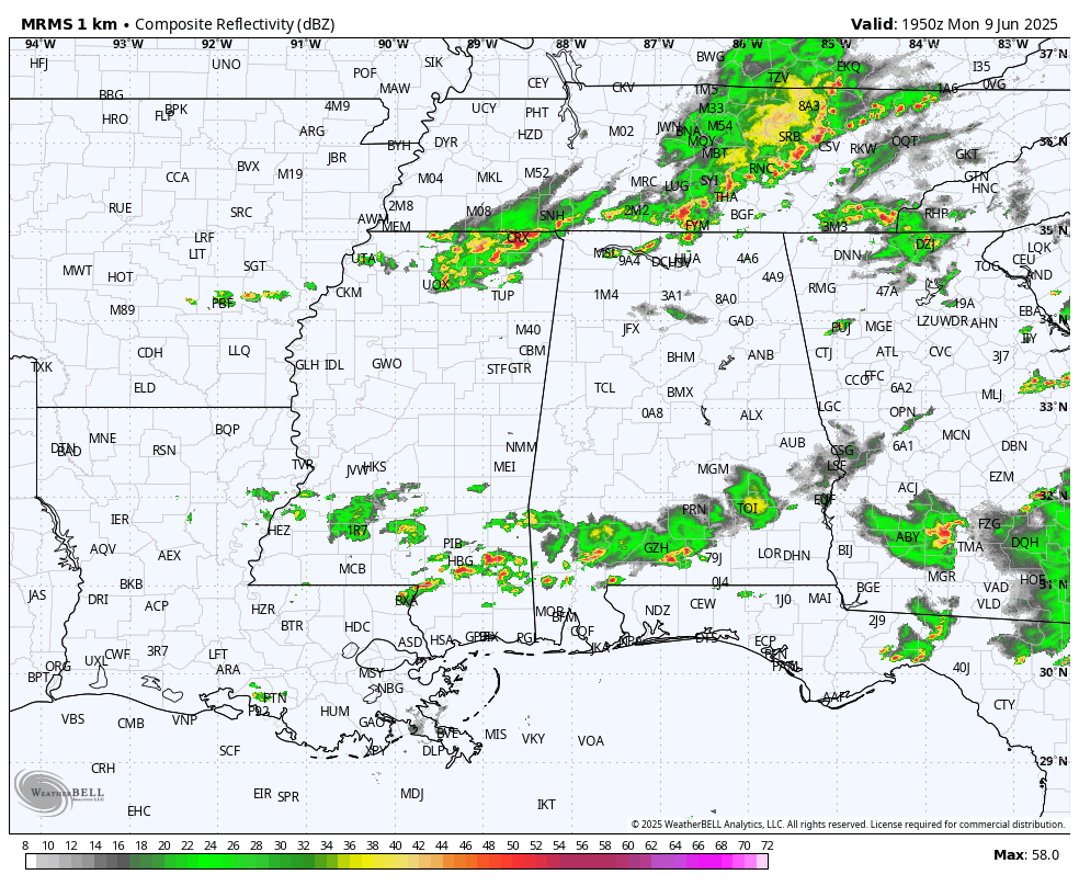
An upper trough will bring a few storms into the state later this afternoon and early tonight, but the air is relatively stable following the morning rain, and the overall risk of severe storms is fairly low. Still, a few heavier thunderstorms could produce gusty winds and some small hail. Showers and storms will end late tonight.
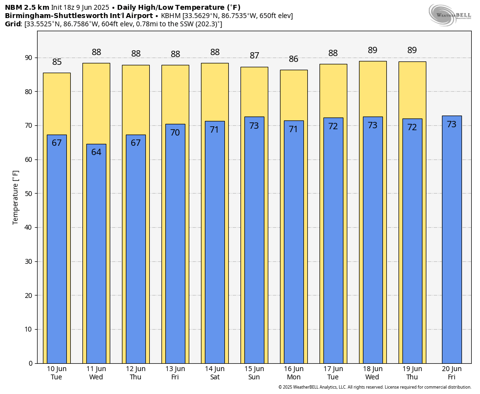
REST OF THE WEEK: The weather gradually shifts back to a more typical summer pattern, with showers and storms becoming fewer and more widely spaced. The chance of any one spot getting wet Tuesday and Wednesday will be 20-30%, with the highest coverage over the southern half of the state. Scattered, mostly afternoon and evening showers and storms will be around Thursday and Friday with afternoon temperatures rising into the upper 80s.
THE WEEKEND: Look for classic summer weather with warm, humid days, a partly sunny sky and the chance of a shower or storm in scattered spots. Afternoon highs will be in the upper 80s in most spots, which is what we expect in mid-June. The chance of any given location seeing rain both days is 40-45%, and most of the showers will come from around 2 until 10 p.m.
Most likely this summer pattern continues into next week.
TROPICS: All remains quiet across the Atlantic basin, and tropical storm formation is not expected through at least the next seven days.
ON THIS DATE IN 1966: Hurricane Alma made landfall over the eastern Florida panhandle, becoming the earliest hurricane to make landfall on the United States mainland.
For more weather news and information from James Spann and his team, visit AlabamaWx.