James Spann: Dog days of summer for Alabama — hot, humid with a few afternoon showers

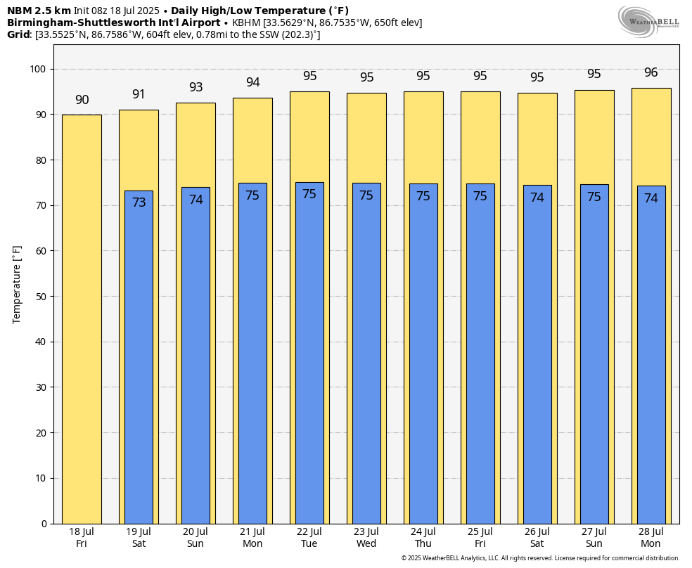
DOG DAYS: This is the middle of July in Alabama, meaning, of course, our weather will be hot and humid for the foreseeable future with the usual risk of a pop-up, splash-and-dash afternoon shower or thunderstorm in a few spots. The best chance of getting a cooling shower will come from around 1 until 10 p.m.; odds for any given spot are 40-50% today, dropping to 30-40% over the weekend.
Highs today and over the weekend will be generally in the low 90s. The upper ridge across the southern U.S. will strengthen a bit next week, which should help to push afternoon highs into the mid 90s. Afternoon showers and storms next week will be isolated.
TROPICS: The Atlantic basin remains very quiet, and tropical storm formation is not expected for at least the next seven days.
ON THIS DATE IN 1966: A storm system in north central and northeast Illinois led to widespread flooding. Aurora reported 16.94 inches of rain, establishing a state record for the most rain in a single day. Other heavy totals included 13.6 inches at Joliet, 9.24 inches in Wheaton, 8.09 inches in DeKalb and 7.82 inches at Elgin. This event is often called the second most damaging weather disaster in Illinois history.
For more weather news and information from James Spann and his team, visit AlabamaWx.