James Spann: Scattered showers for Alabama through Wednesday; end of week is cooler, drier
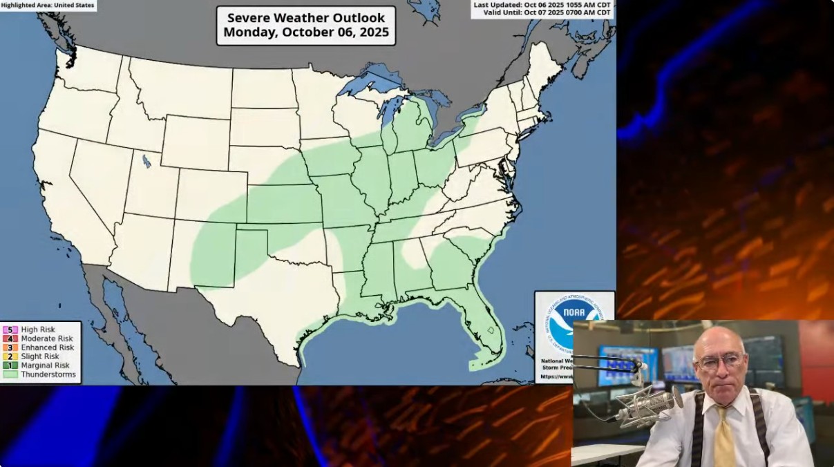
RADAR CHECK: Scattered showers continue across Alabama this afternoon… otherwise we have a mix of sun and clouds with temperatures in the 78–84-degree range for most places. We will maintain the chance of a few spotty showers tonight with a low in the upper 60s and low 70s.

Scattered showers remain possible tomorrow and Wednesday, but nothing really heavy or widespread. A cold front will pass through the state Wednesday night and Thursday; highs drop into the 70s Thursday with a fresh north breeze. A few showers are possible Thursday mainly over the southern counties of the state ahead of the front.
FRIDAY AND THE WEEKEND: Look for sunny pleasant days and clear cool nights. Morning lows drop well down into the 50s Saturday and Sunday morning; a few cooler spots could reach the upper 40s over the northern third of the state. Highs will be generally in the 70s Friday, and in the 78–82-degree range over the weekend.
And, at this point much of next week looks warm and dry with highs in the 80s. See the video briefing for maps, graphics and more details.

TROPICS: Visible satellite images indicate that the area of low pressure (Invest. 95L) located over the tropical central Atlantic is gradually becoming better organized. Environmental conditions appear generally conducive for slow development of this system, and a tropical depression is likely to form within the next couple of days while it moves quickly west-northwestward across the central tropical Atlantic. This system is expected to be near or north of the northern Leeward Islands on Thursday and Friday.
NHC gives it an 80% chance of development, but models show a turn to the north into the open Atlantic well before reaching the U.S.

And, a trough of low pressure located over the northwestern Caribbean Sea is producing a large area of disorganized showers and thunderstorms. This system is expected to move across the Yucatan Peninsula tonight and early Tuesday, and then track over the Bay of Campeche late tomorrow through Wednesday. Some slow development of this system is possible over the Bay of Campeche around the middle of the week.
The chance of development is only 20%; no tropical storms or hurricanes are expected across the Gulf for at least the next 7-10 days.
ON THIS DATE IN 2010: A significant severe weather event struck northern Arizona with at least eight confirmed tornadoes. This event will go down in history as the most tornadoes to hit Arizona in a single day. An EF2 tornado was on the ground for 34 miles, ranking as the longest-tracked tornado in Arizona history.
ON THIS DATE IN 2016: The center of Category 4 Hurricane Matthew passed within 100 miles of Miami. Passing through the Bahamas as a major hurricane, Matthew spread damage across several islands. Grand Bahama was hit directly, where most homes sustained damage in the townships of Eight Mile Rock and Holmes Rock.
For more weather news and information from James Spann and his team, visit the Alabama Weather Network.