James Spann: Winds ramp up in Alabama later today, storms early tonight

BECOMING WINDY: A wind advisory goes into effect for all 67 Alabama counties this afternoon and will continue through Wednesday morning. A deepening surface low will set up a tight pressure gradient across much of the central and southern U.S. over the next 24 hours and will bring an organized band of showers and thunderstorms into Alabama early tonight.
The Storm Prediction Center (SPC) maintains an enhanced risk (level 3 out of 5) of severe thunderstorms across southwest Alabama; most of the rest of the state is in a slight risk (level 2).
Key messages for tonight:
- There will be very little surface-based instability ahead of the line, which will limit the overall magnitude of the event. A brief, isolated tornado is possible within the line but isn’t especially likely for most of Alabama. However, some unstable air could very well make it into southwest Alabama, where the SPC has defined the enhanced risk. A tornado or two is possible in this part of the state.
- Wind fields will be impressive with the tight pressure gradient. Ahead of the line, gradient winds (non-thunderstorm) could gust to 45 mph. With the line itself, convective winds could be high enough in spots to bring down some trees and power lines. Secure any loose objects (like trampolines) that might go flying this evening.
- This will be a fast-moving line of storms; rain amounts will be around one-half inch for most places. Flooding is not expected.
- The storms should enter the northwest corner of Alabama around 6-7 p.m. and exit the southeast corner by 1-2 a.m. Showers will likely break out ahead of the line late this afternoon across west Alabama.
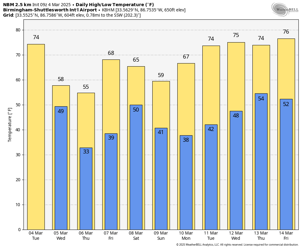
Look for a partly sunny sky Wednesday with a high between 57 and 64 degrees; a few scattered showers are possible over the northern third of the state by afternoon with moisture wrapping around the deep surface low to the north. Temperatures will drop near freezing over north Alabama early Thursday morning, followed by a high between 53 and 60 degrees with sunshine in full supply.
Friday will be sunny and warmer, with a high in the upper 60s and low 70s.
THE ALABAMA WEEKEND: A fast-moving disturbance will bring some rain to the state over the weekend; for now, it looks like the best chance will come Saturday night into Sunday morning. Severe storms are not expected, and highs will be mostly in the 60s.
For now, most of next week looks dry and mild, although global models are hinting at a few showers on Thursday.
ON THIS DATE IN 1842: A tornado moved through western Tuscaloosa, killing one person and injuring several others.
ON THIS DATE IN 1873: The second inauguration of Ulysses S. Grant remains Washington, D.C.’s record cold March day. The low was 4 degrees, and by noon, with the sunshine, the temperature was 16 degrees. Wind chills were around 30 degrees below zero. The 40 mph winds made his inaugural address inaudible to most on the platform with him.
For more weather news and information from James Spann and his team, visit AlabamaWx.