Scott Martin: Marginal mayhem to muggy misery for Alabama

STORMY THURSDAY: Juneteenth starts off with a batch of morning storms as a boundary moves in from the northwest. As it pushes south through the day, we’ll have to watch for a few stronger thunderstorms, especially during the afternoon. The Storm Prediction Center has placed the northern two-thirds of Alabama under a marginal risk (level 1 of 5) for severe storms, with the main threats being gusty winds and small hail. Things should quiet down after sunset, though a few showers could linger into the night, especially in southern counties. Highs will range from the low 80s in stormy areas to the mid 90s where the sun breaks through.
HEAT BUILDS AS RAIN CHANCES DROP: On Friday, we’re still dealing with some scattered afternoon storms, especially near where Thursday’s boundary stalls out. Coverage will be more isolated than Thursday, but any storm that forms could still pack a punch, with gusty winds and heavy rain. High pressure will begin to build in from the east, signaling the end of the more widespread storm pattern. Highs will climb into the upper 80s to mid 90s.
Saturday will bring more typical July-like weather — hot, humid and only a few isolated afternoon storms. With high pressure taking over, most areas will stay dry, but the heat will build quickly through the day. The heat index will push toward the triple digits by afternoon. Highs will reach the low to mid 90s.
Sunday looks almost identical to Saturday, with hot and humid conditions continuing. Rain chances remain low, though a popup storm or two can’t be ruled out in the heat of the afternoon. The bigger story will be the heat index, which will again approach or exceed 100 degrees in many locations. Highs Sunday will be in the low to mid 90s.
Monday brings more of the same — limited storm chances, hazy sun and rising heat. Overnight lows will barely drop below the mid 70s in spots, so the afternoons will heat up quickly. Expect high humidity and heat indices back near 100 degrees again. Highs will land in the low to mid 90s.
Tuesday may end up being the hottest day of the stretch so far. A strong ridge remains in control, and sunshine will help push temperatures well into the 90s. With dewpoints in the 70s, it will feel oppressive outside, with the heat index climbing over 100 degrees. Any storms will be very isolated and brief. Highs will be in the low to upper 90s.
Wednesday wraps up this hot stretch with continued steamy conditions. Storm chances remain minimal due to the strong high overhead, but the heat and humidity will stick around. The heat index will again be pushing triple digits across much of the state. Highs will be in the low to mid 90s.
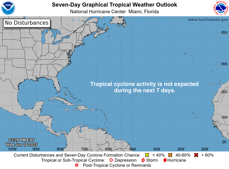
TROPICS: For the North Atlantic, Caribbean Sea and the Gulf of Mexico, tropical cyclone formation is not expected during the next seven days.
For more weather news and information from James Spann, Scott Martin and other members of the James Spann team, visit AlabamaWx.