Scott Martin: Scorching summer Saturday for Alabama, with even more heat ahead

THE WEEKEND: Today brings a modest rise in temperatures, with highs in the low to mid 90s and the heat index peaking around 105 degrees. Rain chances will remain scattered in the afternoon and evening, mostly for central Alabama. These storms could briefly limit heating in a few spots, but overall conditions will still be hot and humid across the state.
Sunday marks the beginning of the most intense heat phase. Highs will range from the mid to upper 90s across the region, and the heat index will easily exceed 105 degrees. Only isolated afternoon storms are expected, and they will not be widespread enough to offer meaningful relief. Conditions across north and central Alabama will be hazardous by the afternoon.
THE WORK WEEK: Monday is on track to be one of the hottest days of the entire event. Highs will reach the upper 90s to near 100 degrees, and the heat index will push into the 108- to 110-degree range across a large part of the state. Storm coverage will be limited, so most areas will remain dry and dangerously hot throughout the day.
Tuesday continues the trend, with widespread highs in the upper 90s to near 100 again. The heat index will range from 108 to 112 in many areas. Scattered storms could begin to return late in the day and into the evening, mainly in central and southern Alabama, but they will be isolated at first.
Wednesday brings slightly better rain chances, especially across central and east Alabama. Highs will remain in the mid to upper 90s, and most locations will still see a heat index around or just above 105 degrees before any storms develop. While the rain may help cool things briefly, the heat remains a significant concern.
Thursday features increased cloud cover and more widespread afternoon showers and storms. Highs will stay in the mid to upper 90s, with the heat index still reaching 100 to 105 degrees. Rain may be more likely in the southern half of the state by the afternoon.
By Friday, the ridge responsible for the extreme heat may begin to break down and shift westward. This will open the door to more storm development and slightly lower daytime temperatures. However, high humidity will keep it feeling hot and sticky even as temperatures ease slightly into the low 90s.
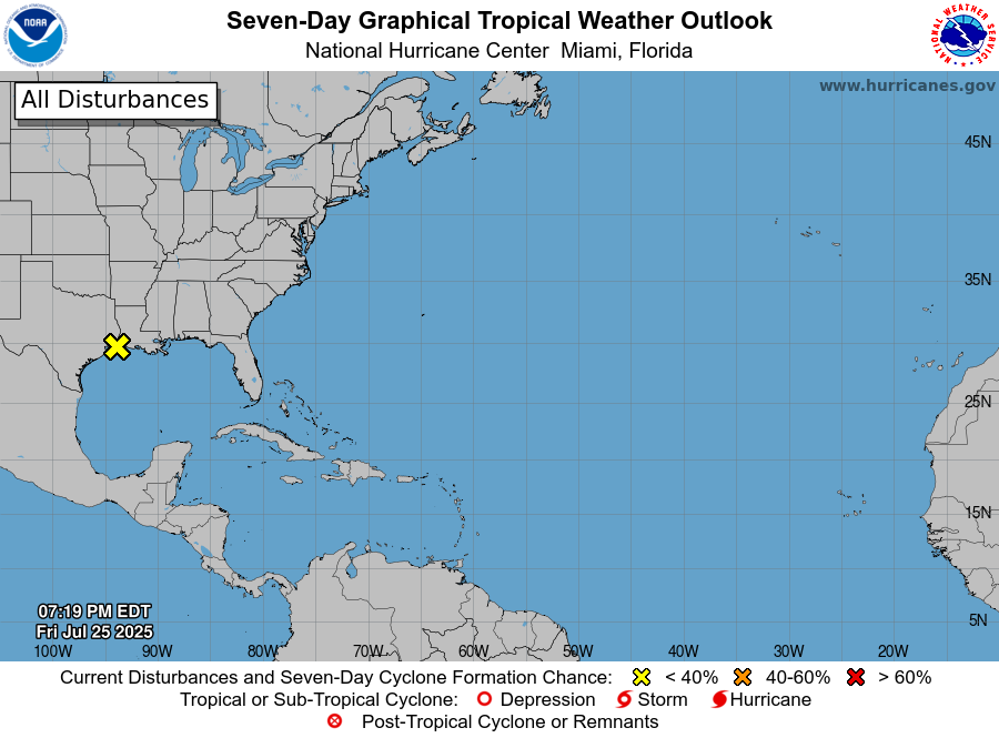
TROPICS: A weak system over the northwestern Gulf is moving inland over Texas and Louisiana. No development is expected, but some locally heavy rainfall is possible near the Gulf Coast through the weekend. The rest of the Atlantic basin remains calm, with no tropical cyclones expected to develop over the week ahead.
For more weather news and information from James Spann, Scott Martin and other members of the James Spann team, visit AlabamaWx.